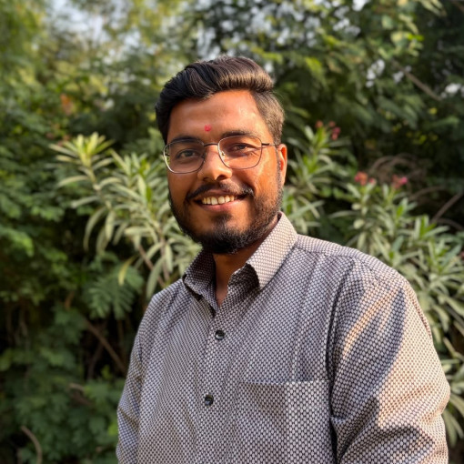
Sahil Valand
Associate GIS Analyst, CoE-UTSahil Valand is a GIS Analyst at CoE-UT, CRDF, specializing in spatial analysis, urban growth mapping, and transportation planning. He holds a Master's in Geoinformatics from Gujarat University's Department of Earth Science, where his thesis examined the spatial and temporal patterns of Ahmedabad's urban growth using GIS and remote sensing.
Proficient in ArcGIS Pro and QGIS, Sahil works across geospatial data management and urban systems analysis to support data-driven planning. He's driven by a passion for using spatial technology to solve real-world urban challenges.