
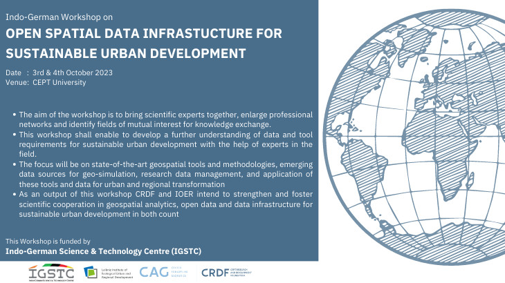
Indo-German Workshop on Open Spatial Data Infrastructure for Sustainable Urban Development
Event
Tue, October 03, 2023 - Wed, October 04, 2023
10:00 am
CEPT University
Center for Applied Geomatics, CEPT Research and Development Foundation and IOER is organizing an Indo-German Workshop on Open Spatial Data Infrastructure for Sustainable Urban Development on the 3rd and 4th of October 2023, funded by Indo-German Science & Technology Centre (IGSTC).
The emergence of Spatial Data Infrastructure (SDI), also termed Geospatial Data Infrastructure, is closely linked to the collection and production of geospatial data with the support of surveying and computer technologies. With the fast development of Geographic Information Systems (GIS), the availability of data products such as topographic maps, land cover data, transportation networks and location-based services are becoming increasingly popular. Spatial Data Infrastructure provides a unified platform for users to access and use data, maps, services and other digital resources, thereby reducing data redundancy and increasing transparency of governmental activities. From a technological perspective, SDIs consist of data, hardware, and software to be implemented and effectively applied, SDIs also require appropriate policies, standards, human resources, and collaboration among organizations. Globally, many SDIs are established at different geographic levels, such as Global Earth Observation System, combining 70 countries to share environmental data; Infrastructure for Spatial Information in the European Community (INSPIRE) at the European Union level; Govdata.de and Data.gov.in at the national level; and city level open data portals. There are also SDIs dedicated to specific domains such as disaster response, public health, and climate change. Both applicants, CRDF and IOER have long-lasting experiences in providing and supporting SDIs.
- The aim of the workshop is to bring scientific experts together, enlarge professional networks and identify fields of mutual interest for knowledge exchange.
- This workshop shall enable to develop a further understanding of data and tool requirements for sustainable urban development with the help of experts in the field.
- The focus will be on state-of-the-art geospatial tools and methodologies, emerging data sources for geo-simulation, research data management, and the application of these tools and data for urban and regional transformation.
- As an output of this workshop, CRDF and IOER intend to strengthen and foster scientific cooperation in geospatial analytics, open data and data infrastructure for sustainable urban development in both countries.