Data for Resilient Cities
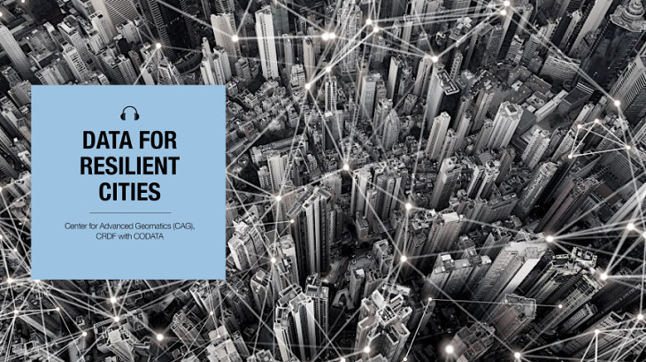
Podcast details
Launched on 15 October 2020
3 Episodes
CAG
Like and Follow on podcast apps at /DataforResilientCities
Introduction to the Podcast Series
In this introduction episode to the podcast series on Data for Resilient Cities, Shaily Gandhi in conversation with Simon Hodson, explains the idea of Data interoperability is an essential step to understanding complex systems and to create the knowledge needed to drive effective policy. The importance of data for making the city resilient. The structure of the podcast series is discussed which offers a rich collection of conversations, case studies and audio essays by eminent thinkers, practitioners, public decision-makers and policy advocates recall and reflect, discuss critical issues and point out the way forward. The episodes are of two categories: one engages with larger and fundamental concepts of interoperability; the other with data sharing for interdisciplinary studies within and across various domains.
Dr. Simon Hodson has been Executive Director of CODATA. Simon is an expert on data policy issues and research data management. He has contributed to influential reports on Current Best Practice for Research Data Management Policies and to the Science International Accord on Open Data in a Big Data World. Most recently he chaired the European Commission’s Expert Group on FAIR Data which produced the report Turning FAIR into Reality https://doi.org/10.2777/1524. As part of his CODATA role, Simon is closely involved in an ISC and CODATA initiative to improve the coordination of standards for data integration and interoperability for interdisciplinary research and in the coordination of the CODATA Data Policy Committee.
Dr. Shaily Gandhi is Manager IT and Geospatial solution at CRDF. She is a alumni of CODATA/RDA Summer school, She is one of the initiated Leads for the CODATA Connect Working group and a co-opted member of CODATA Executive Committee. She has completed her Ph.D. degree from CEPT University in 2018. She is also a faculty at CEPT University. She has been working on implementation of GIS and data science in the domain of Urban Analytics.