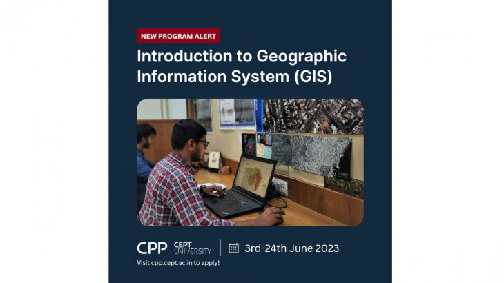
Certificate Course on Introduction to Geographic Information System
Project details
2023
Capacity Building
CAG
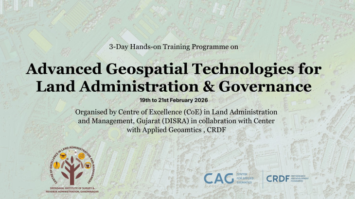
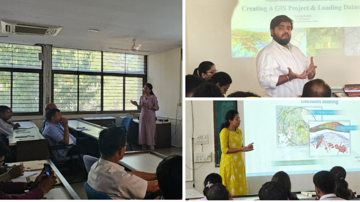
We are thrilled to announce a certificate course on Introduction to Geographic Information Systems. GIS is a critical tool for urban development practitioners which allows them to integrate different types of data, such as maps, satellite images, and survey data, to analyze and understand complex relationships between spatially distributed features. GIS technology has diverse applications across multiple urban development sectors, from land use, transportation, and infrastructure, to environmental sustainability and social equity. This 4-week Program designed in a blended format aims to equip participants with working knowledge of GIS through theory and practical sessions. Participants will learn how to capture, store, manage, analyze and visualize spatial data. This program is developed and curated by the Center for Applied Geomatics at CEPT Research & Development Foundation in consultation with CEPT Professional Programs at CEPT University.
More Projects from CAG