District Level Mapping of National Innovations using Geospatial Technology
Project details
National Innovation Foundation, India
2023 - 2024
Advisory Projects
CAG
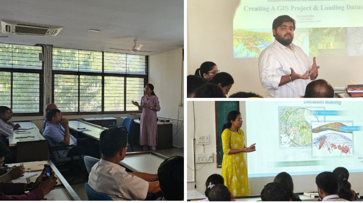
This project with the National Innovation Foundation focuses on Geotagging and developing a Spatial Data Repository that centralises and organises grassroots innovation data.
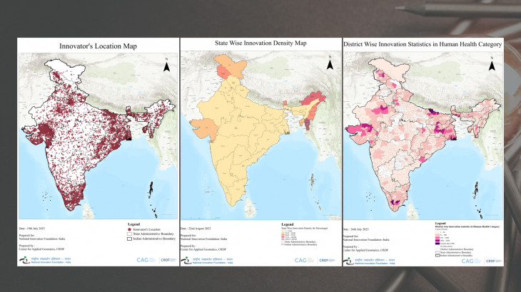
By mapping the grassroots innovations database at the district level, we gain insights into innovation distribution and concentration across different districts. Identifying trends in innovation types allows us to understand where specific innovations thrive and where they may be lacking. We digitise base layers to ensure accurate and reliable data and employ a standardised approach using FAIR policies (Findable, Accessible, Interoperable, and Reusable). This process converts physical data to digital formats for easy access and efficient management. FAIR policies ensure consistent, structured, and compatible data for various systems and tools.
The project aims to establish a comprehensive Spatial Data Repository, benefiting researchers, policymakers, and innovators. Clean and standardised data enables evidence-based decision-making, collaboration, and the development of grassroots innovative solutions.
This project also aligns with our goal to support the growth and dissemination of knowledge in grassroots innovations, contributing to sustainable development and social progress.
More Projects from CAG