NRDMS-DST Summer School on Geospatial Technologies
Project details
NRDMS-DST
2019
Capacity Building
CAG
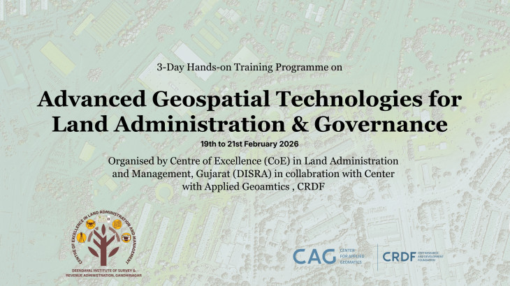
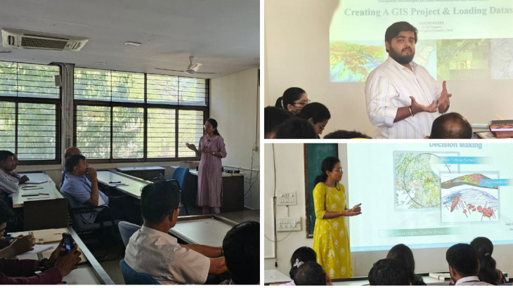
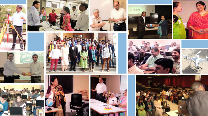
The Center for Applied Geomatics organised a comprehensive summer school on Geospatial Information (GI) for the Department of Science & Technology (DST). The program aimed to enhance participant understanding of various geospatial data types & applications and focused on important aspects of GIS, urban planning, map making, remote sensing, and data visualisation.
The program had an active participation of 29 individuals, predominantly from the Land Record Survey Department contributing to the successful and effective training sessions.
The summer school embraced latest surveying methods along with technological advancements in the field. Participants gained hands-on experience in utilising GNSS systems and explored the practical applications of UAVs, opening new avenues for efficient and accurate data collection in geospatial surveys.
The program revolved around several themes to provide an understanding of GI and its diverse applications. These themes included:
- Introduction to Geospatial Data Types
- GIS Application in Urban Planning
- Scales and Projections
- The Art of Map Making
- Evaluating Maps: Good vs. Bad
- Applications of Remote Sensing in Forestry and Wildlife
- Visualising Data Through Queries
- Urban Data Science: Enhancing City Life and many more
This GI training program marked a significant milestone in advancing the skills and knowledge of personnel from the Land Record Survey Department.
More Projects from CAG