3D Laser Scanning documentation for informing the post-earthquake recovery of heritage settlements a practical guide
Contributors/ Collaborators:
- Dr Rohit Jigyasu, Sukrit Sen (ICCROM)
- Dr Bernadette Devilat, Dr Felipe Lanuza, M. Gamal Abdelmonem (Nottingham Trent University-NTU)
- Dr Jigna Desai, Mrudula Mane, Zeus Pithawalla (CHC, CRDF)
- Aditya Singh, Tanvi Chaudhari (Hunnarshala)
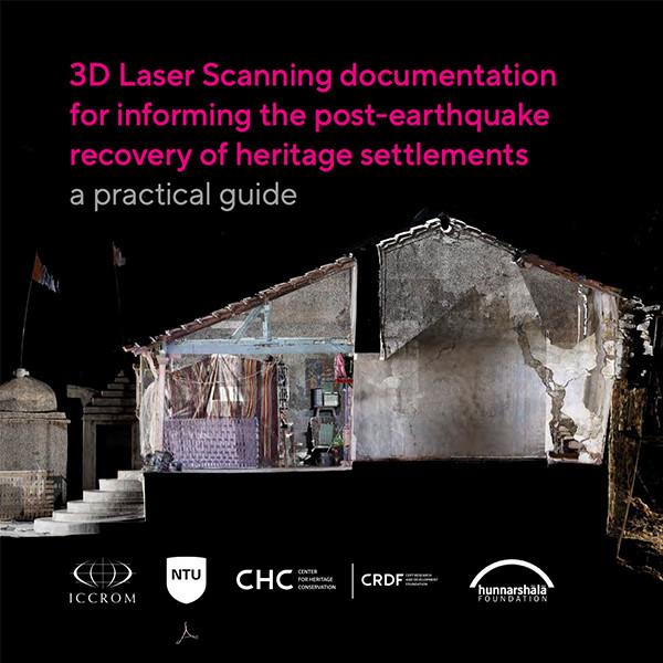
The Guidance Document published under 3D for Heritage India shows how terrestrial 3D laser scanning (3DLS, also known as LiDAR) and photography can support post-earthquake recovery operations. Understanding post-disaster recovery includes several dimensions – economic, social, and physical – this guide focuses on the documentation of the physical aspects of built heritage, which contribute towards the emotional attachment that communities have had with their places over the years.