
Geospatial Technologies for Land Administration and Governance
Event
Thu, February 19, 2026 - Sat, February 21, 2026
CoE-LAM DISRA, Gandhinagar
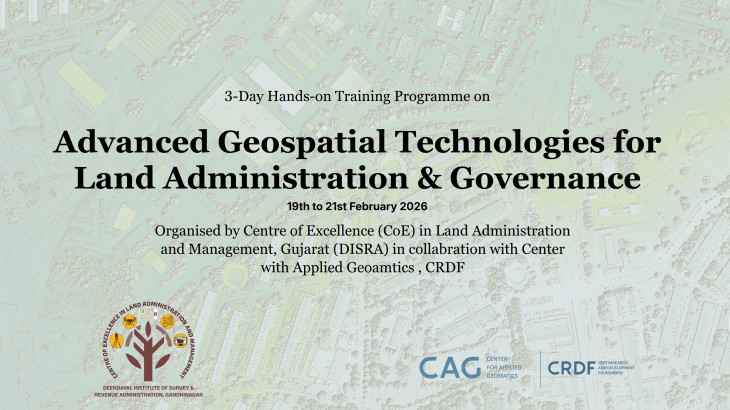
The Centre for Applied Geomatics (CAG), in collaboration with the Centre of Excellence – Land Administration and Management (CoE-LAM), DISRA, Government of Gujarat, successfully conducted a three-day training programme on "Geospatial Technologies for Land Administration and Governance" from 19th to 21st February 2026 at Gandhinagar, Gujarat.
The programme was designed to strengthen technical capacity among land administration officials across states & UTs, addressing the growing need for geospatial skills in modernising cadastral systems and digital land governance frameworks. Rooted in the national vision articulated through the Digital India Land Records Modernisation Programme (DILRMP), SVAMITVA, and NAKSHA, the training brought together practitioners from government agencies to bridge the gap between policy intent and on-ground implementation.
Over three intensive days, participants engaged with a carefully structured blend of classroom instruction, hands-on laboratory exercises, and live field demonstrations. The curriculum covered the full spectrum of contemporary land administration technologies, from foundational spatial analysis using QGIS and geospatial data integration techniques, to advanced field survey methods including DGPS, GNSS, Total Station, and Drone Survey. Sessions were designed to move progressively from conceptual understanding to practical application, ensuring participants left with skills directly deployable in their day-to-day workflows.
A total of 60 participants attended the programme, representing land records departments, revenue authorities, and Town planning department from Gujarat, Rajasthan, Dadra and Nagar Haveli, and Diu and Daman, reflecting the regional significance of this capacity building effort and its relevance across multiple state jurisdictions managing shared land governance challenges.
The training demonstrated CAG's commitment to translating geospatial research and expertise into tangible institutional capacity at the state level, supporting India's broader agenda of technology-driven, citizen-centric land administration and contributing to the creation of a skilled cadre of geospatial practitioners capable of advancing digital governance at scale.