Urban Air Quality Assessment
Project details
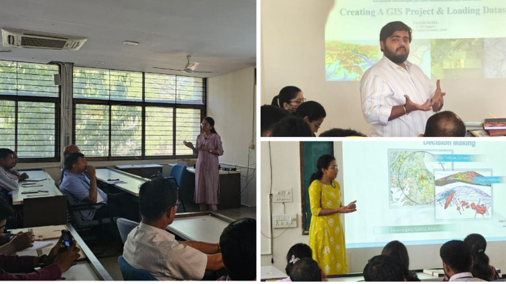
Space Application Centre
2017 - Ongoing
Research
CAG
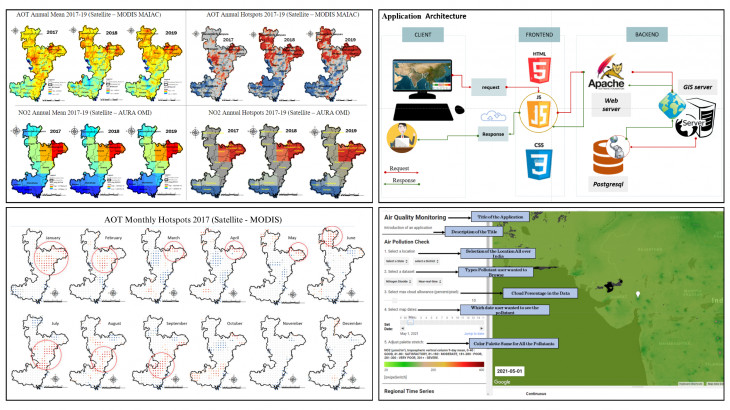
This project is a collaborative effort between the Center for Applied Geomatics (CAG) and the Space Application Center (SAC), dedicated to revolutionizing air quality monitoring across India by leveraging cutting-edge satellite remote-sensing technology. In densely populated urban areas, limited air quality monitoring stations hinder effective pollution prevention at a micro-scale level. Traditional monitoring stations, sparsely distributed, fall short of mapping atmospheric pollution accurately. Our research aims to explore satellite remote sensing as a game-changer in assessing and mapping air pollution, using satellite imagery to provide comprehensive synoptic views of pollutant variations and concentrations, specifically focusing on major pollutants such as NO2, SO2, PM 2.5, and O3.
Google Earth Engine (GEE) played a pivotal role in this Urban Air Quality project, providing a powerful platform for comprehensive data collection. GEE integrates various satellite imagery datasets, including Tropomi Sentinel-5P and MODIS products, offering detailed insights into air pollutant concentrations and distribution that would be challenging to achieve through traditional ground-level measurements alone. One of the main advantages of using GEE is its ability to provide both historical and real-time data, enabling thorough analysis of air quality trends over time and aiding in predicting future scenarios.
The methodology involved feeding satellite imagery into GEE to identify pollutant-affected areas on a monthly, seasonal, and annual basis. Using JavaScript within GEE, we coded the application to utilize five pollution parameters from Tropomi Sentinel-5P and MODIS satellite images, alongside cloud-filtered images, to derive mean values. This approach allowed us to calculate the Air Quality Index (AQI) following the guidelines of the Central Pollution Control Board, providing a standardized measure for air quality assessment.
This groundbreaking project delves into various aspects, including analyzing methods responsible for releasing toxic gaseous components into the atmosphere and their impact on climate change and human health. The project emphasizes the validation and accuracy of AQI derived from satellite data, ensuring reliable and precise information for informed decision-making regarding air quality management. By leveraging GEE's advanced capabilities for data analysis and visualization, we developed a user-friendly, real-time AQI application, significantly enhancing our ability to monitor air quality in urban areas and address the challenges of urban air pollution effectively.
More Projects from CAG