Gram Panchayat Spatial Development Plan (GPSDP) for Tarapur (Anand) and Nandasan (Mehsana) Villages
Project details
July 2020 - May 2021
Advisory Projects
CUPP
The Ministry of Panchayati Raj has proposed the preparation of a Gram Panchayat Spatial Development Plan (GPSDP) for 32 villages and their implementation as a pilot project. The spatial plan focuses on aspects related to economic development and social justice within their respective areas. Since the panchayats neither have the means nor the capacity to undertake such an effort, the ministry has identified CEPT University as one of the institutions that are chartered with the task of preparing these spatial development plans for the Gram Panchayat.
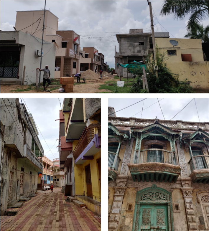
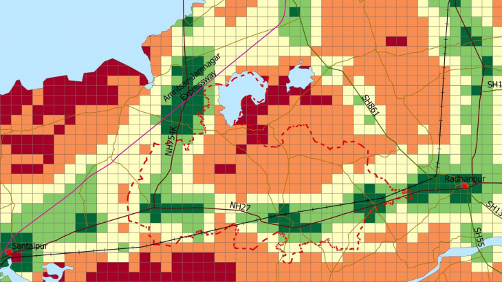
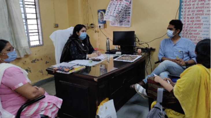
The GPSDP is an overarching planning document tied to a spatial layout that can be used for structuring land use and development within the jurisdiction of the Gram Panchayat. CUPP’s work in the preparation of plans for Tarapur Gram Panchayat (Anand District) and Nandasan Gram Panchayat (Mehsana District) is in the final stages to outline a vision to guide the growth and development of a rural area over the next 20-30 years. For this, the CUPP team conducted primary field visits, focus group meetings, primary and secondary data collection, and household surveys towards gaining valuable information as a baseline for the project. The Center also conducted a complete analysis of existing conditions, developed scenarios for future development and made recommendations for a draft spatial development plan.
The proposed draft plans have been submitted to the respective district offices and to the Development Commissioner of Panchayat, Rural Housing and Rural Development, Govt. of Gujarat.
More Projects from CUPP