Projects
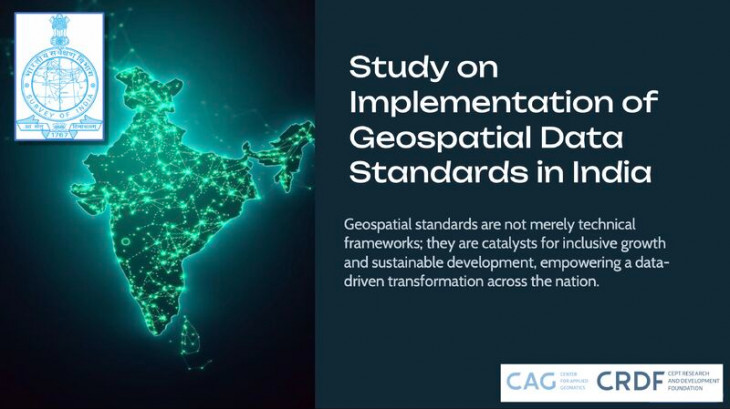
Study on the Implementation of Geospatial Data Standards in India
Survey of India
2025 |
Advisory Projects | CAG

ECO-BOT AI Powered Chatbot
Foundation for Ecological Security
2025 |
Research | CAG
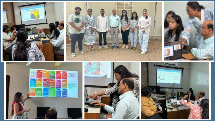
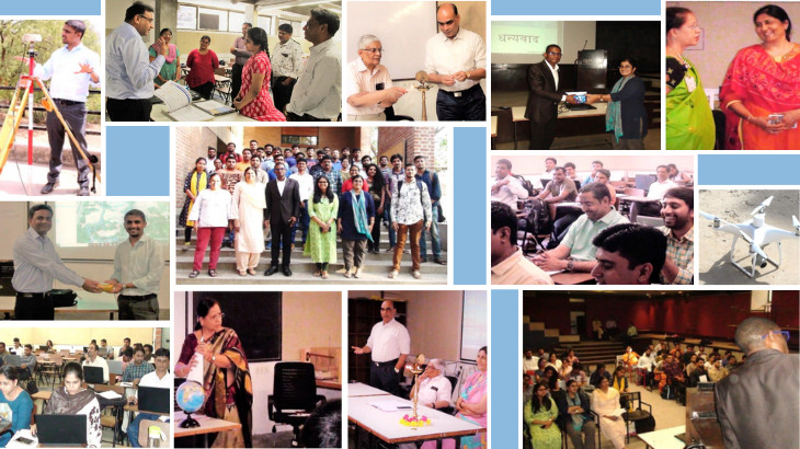
Skill Development Workshop on Geospatial Technologies
Survey of India
2025 |
Capacity Building | CAG
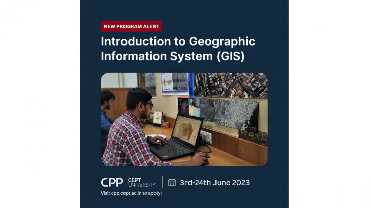
Certificate Course on Introduction to Geographic Information System
2023 | Capacity Building | CAG
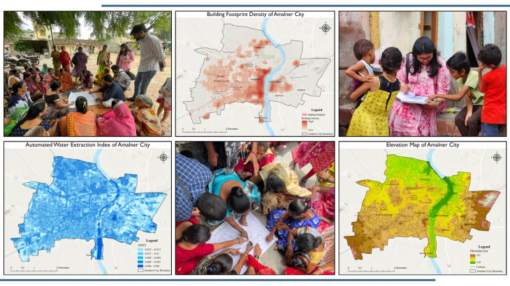
Developing GeoAI-Enabled Flood Vulnerability Model for Amalner, a Blueprint for India's small Towns
Mahila Housing Trust
2023 - 2024 |
Research | CAG
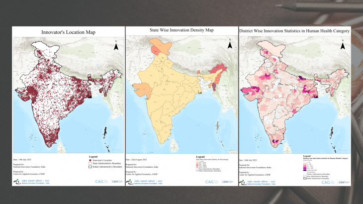
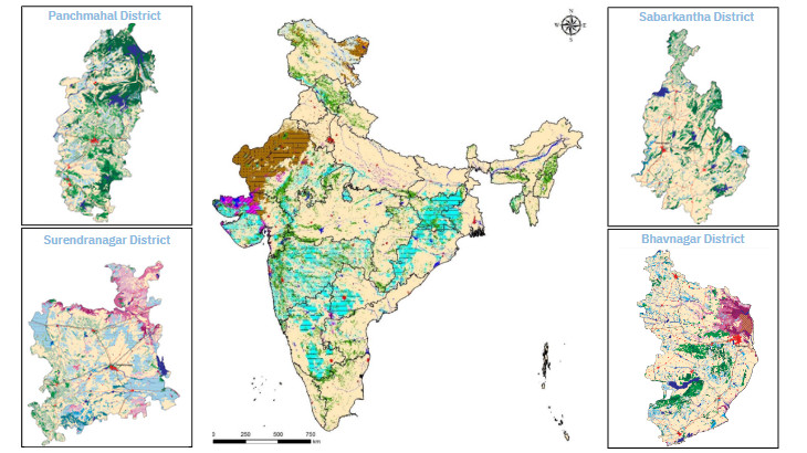
District Level Mapping of National Innovations using Geospatial Technology
National Innovation Foundation, India
2023 - 2024 |
Advisory Projects | CAG
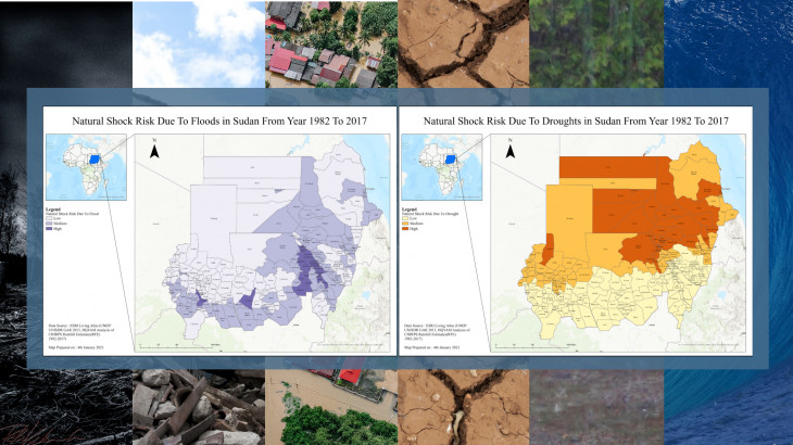
Case Study on Open Spatial Data for Disaster Risk Reduction
Tonkin and Taylor
2022-2023 |
Research | CAG
Standard City GML Data Model Strategy for Consistent Modelling of Slums in Smart Cities Across India
NRDMS and NSDI Division
2019 - Ongoing |
Research | CAG
Hyperspectral Imagery for Morpho-Spectral Recognition of Urban Features
Space Application Center - ISRO
2017 |
Research | CAG
NRDMS-DST Summer School on Geospatial Technologies
NRDMS-DST
2019 |
Capacity Building | CAG
Desertification and Land Degradation Atlas of Selected Districts in India
Space Application Center - ISRO
2018 |
Research | CAG
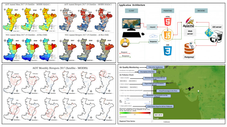
Urban Air Quality Assessment
Space Application Centre
2017 - Ongoing |
Research | CAG
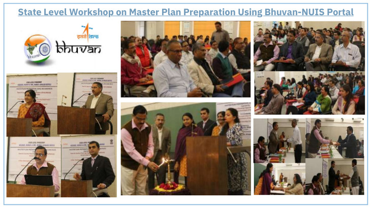
State Level Workshop on Master Plan Preparation Using Bhuvan-NUIS Portal
Town and Country Planning Organization (TCPO/MOUD), Government of India, in collaboration with the Urban Development and Urban Housing Department, Government of Gujarat, and the National Remote Sensing Centre, Hyderabad
2015 |
Capacity Building | CAG
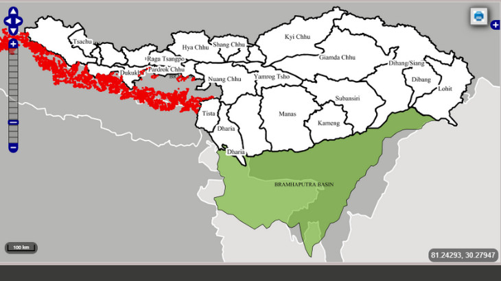
Monitoring Snow and Glaciers of Himalayan Region
Space Applications Centre, ISRO
2010 - 2011 |
Research | CAG
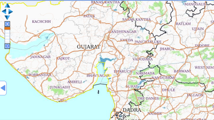
Thematic Mapping of Nadiad, Surat, and Jamnagar in Gujarat
National Remote Sensing Centre
2009 - 2010 |
Research | CAG